


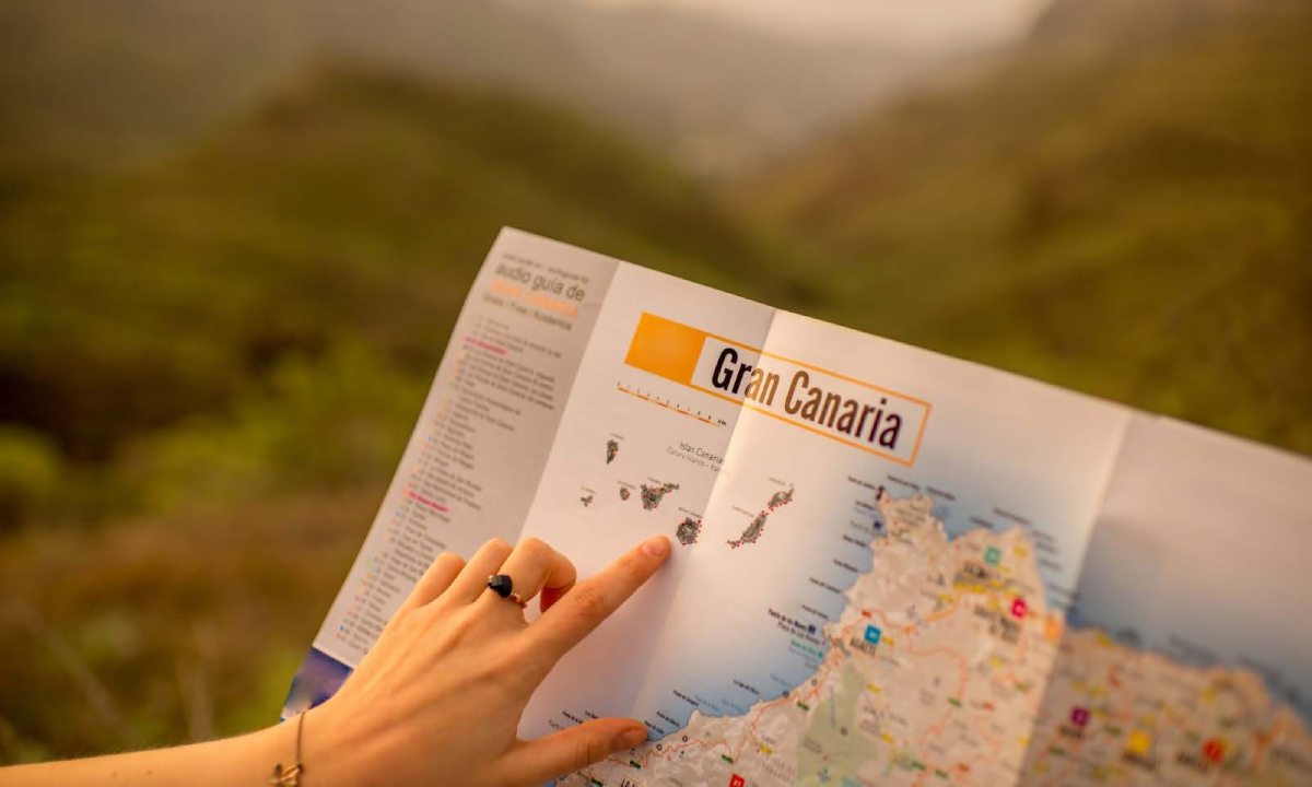
4 unique places to visit in Gran Canaria
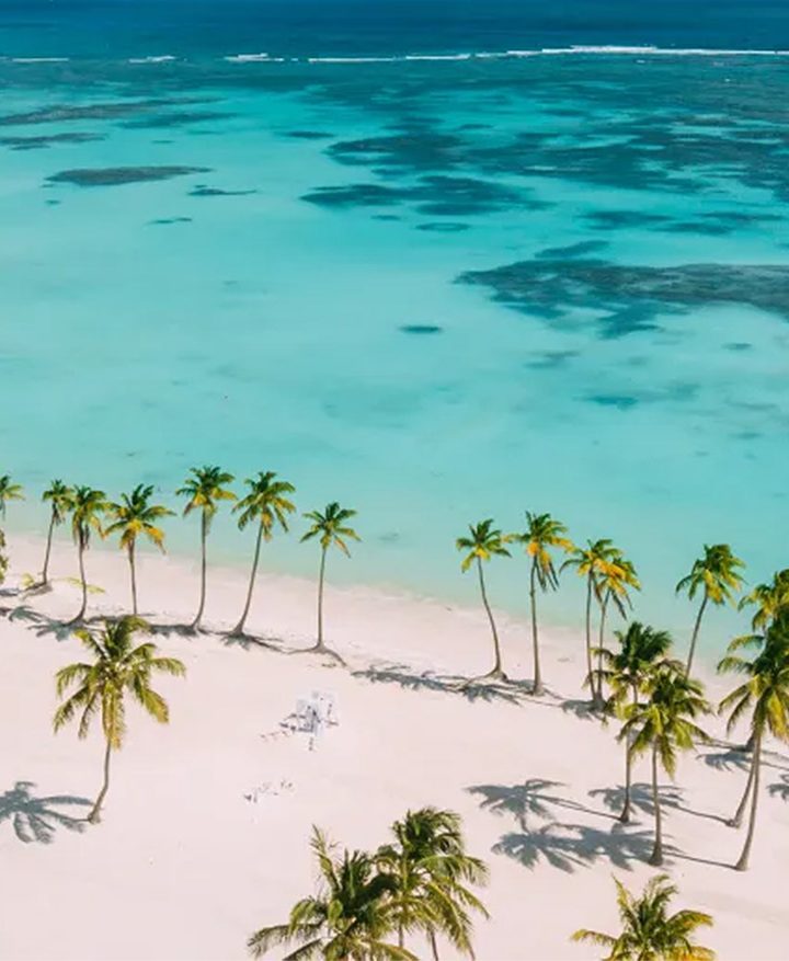
What are the first places that spring to mind when you think about Gran Canaria? Probably the most well-known ones, like the impressive Maspalomas Dunes, Puerto de Mogán (“little Venice”) and the historic Vegueta district in Las Palmas de Gran Canaria.
And there’s no doubt about it – these iconic destinations are well worth a visit. But if you’ve been to the island before and seen all the obligatory sights, there are plenty more places to visit in Gran Canaria. They may be less well known, but they’re just as fascinating and deserving of a visit.
In this post, we’re taking you on a trip around four beautiful locations. Come along on our journey to discover these wonderful places well off the beaten track.
Salinas de Tenefé
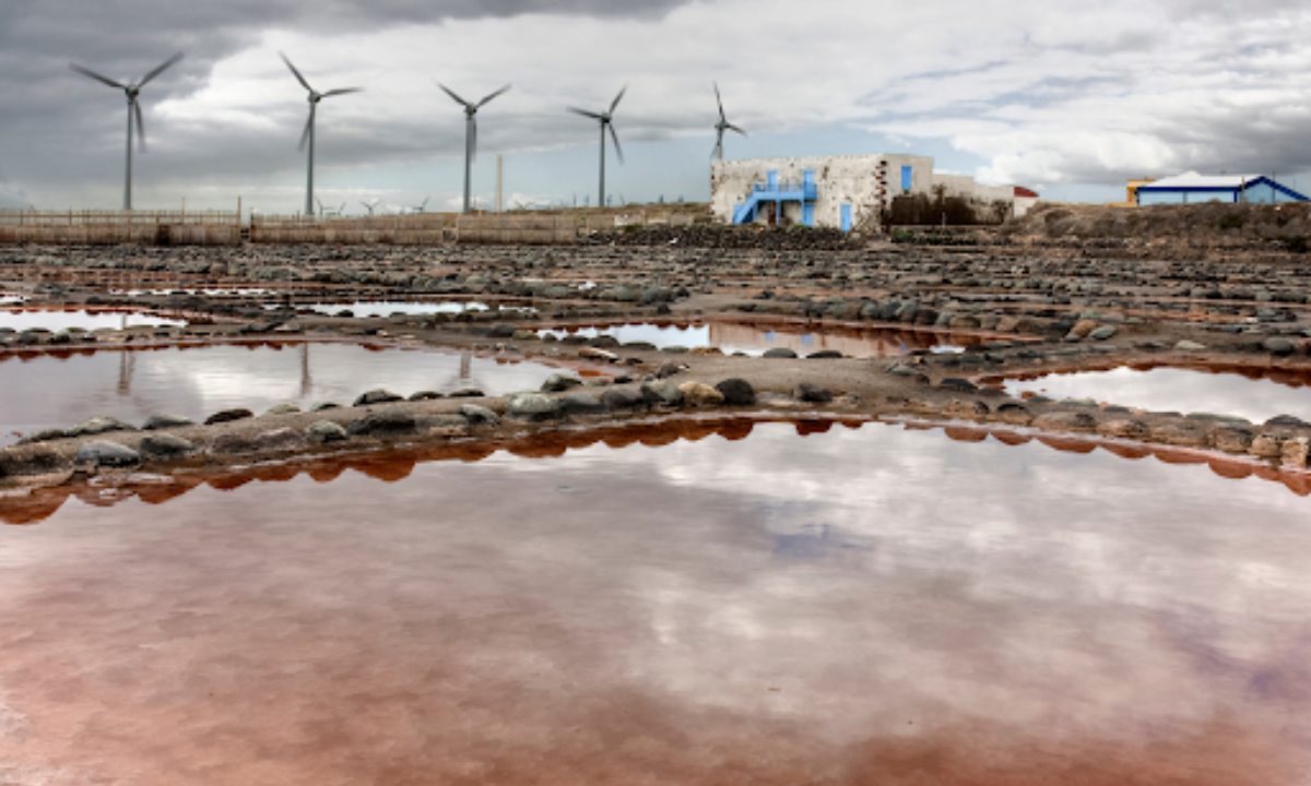
The Salinas de Tenefé (salt flats) are located on the southwest coast of Gran Canaria in the municipality of Santa Lucía de Tirajana. It’s known as Punta de Tenefé on the Pozo Izquierdo coast.
Dating back to the end of the eighteenth century, the salt flats were built to provide salt both for local consumption and fishing vessels venturing off the African coast.
Salt has been extracted here using traditional methods for more than 250 years, leading to it being declared a Cultural Interest Site.
As the tide changes, seawater enters the salt pans via a channel, and is routed through various stages towards one of the 386 crystallised wells. The salt flats stretch over a plot right on the seafront, covering some twenty thousand square metres (equivalent to a massive twenty football fields).
2 ways to visit the salt flats:
- Guided Tours: Groups of over 10 people require booking in advance to ensure availability.
- Audio Guide: This costs 5 euros. You’ll need to pay a cash deposit of 10 euros, which is refunded once you’ve handed back your devices. No booking required.
Salinas de Tenefé Visitors’ Centre
Located in the former dwelling at the salt flats, the building was originally a home for the people working at the salt flats, and was also used for storage.
The Salinas de Tenefé Visitors’ Centre tour is divided into two parts. First, you’ll see the salt flat area, giving you an overview of the salt production process, and then you can have a look around the Visitors’ Centre.
The information is organised into four main topics: the nature of salt, salt and our body, the history of salt and uses of salt.
Useful information
- Opening times: Monday to Thursday from 9:00 until 13:00, Friday from 11:00 to 23:00, Saturday from 13:00 to 23:00.
- Phone: +34 669816242
Guayadeque Ravine

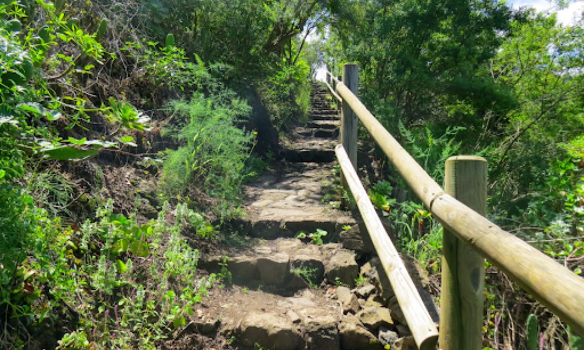
The Barranco de Guayadeque (ravine) is located in the southeast of Gran Canaria, between the Ingenio and Agüimes municipalities. This spectacular ravine is one of the Canary Islands’ biggest and most impressive, serving up beautiful rural landscapes with towering mountains and abundant vegetation.
This natural monument covers approximately 743.7 hectares and spans a length of over 11 kilometres. It’s been officially declared a Cultural Interest Site (in the archaeology category) by the Canary Islands Historic Heritage Act.
The cave houses are one of the most curious things about it. You’ll see them on both faces of the ravine, along with a hermitage and several restaurants dug into the rock. These unique features make the Barranco de Guayadeque a truly special, authentic place to explore.
The valley is great for a day trip; it’s just a 30-minute car journey from the south of the island. The first thing you’ll see when you get to the ravine is the Guayadeque Barranco Visitors’ Centre, where you can learn all about the ancient Canary Islanders who lived in the area.
Barranco de Guayadeque Visitors’ Centre
Address: Carretera del Barranco de Guayadeque, Agüimes
Opening hours: from Tuesday – Saturday 9:00 until 17:00; and Sundays from 10:00 until 15:00 (closed on Mondays)
Entry price: Residents: €2 – Non-residents: €2.5 – Children and pensioners: €1
Website: http://www.aguimes.net/industrias/museo_guayadeque.htm
This is the ideal place for hiking lovers. There are several routes to explore, whether on your own or with a guided group. Here are two of them:
- Distance: 12.68 km (there and back). It takes around 5 hours and is split into three sections.
- Difficulty level: Moderate.
- Guayadeque – Marteles – Guayadeque Route. The route starts from the end of the tarmacked road at Barranco de Guayadeque, at the same altitude as the La Era Restaurant.
- Distance: 16.78 km (there and back). It takes approximately 5 hours.
- Difficulty level: Moderate.
Caldera de Bandama

It’s well known that the Canary Islands are volcanic in origin. But did you know you can get inside a volcanic crater? It’s a unique experience, and it’s only 20 minutes from the capital Las Palmas de Gran Canaria.
The Caldera de Bandama is a true natural phenomenon, it was formed 5,000 years ago after a series of volcanic eruptions near the old Pico de Bandama volcano.
Measuring 216 metres deep, with a diameter of approximately 1,000 metres and perimeter of more than 3 kilometres, it’s one of the most significant geological formations in the Canary Islands.
Did you know…?
The crater’s name itself is curious. ‘Bandama’ is a Castilianised version of Daniel Van Damme, a Flemish man who acquired the crater with the intention of planting vines there.
If you like to hike, this is the place for you. There are two routes to choose from. One skirts around the perimeter of the crater, giving you the chance to look down into the large basin. The route taking you down into the depths of the crater is a bit more challenging. Get more information about both routes.
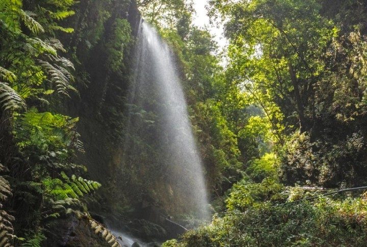
Tilos de Moya Nature Reserve
The Tilos de Moya Nature Reserve is in the municipality of Moya, in the north of the island of Gran Canaria. To get there, take the GC-75 road that runs from the coast to the mountains. Several signposted paths and routes take you through the most beautiful corner of the green forest, which is part of Doramas Rural Park.
This protected area is about the same size as Madrid’s Retiro Park and includes Barranco Oscuro, Tilos de Moya and Azuaje.
One of the island’s last laurel forests
Los Tilos de Moya unveils a treasure trove of nature’s artistry – a magnificent laurel forest, a relic of the Tertiary period and one of the last of its kind on the island.
Breathe in deeply and savour the invigorating air, infused with the rich aroma of the laurel forest. Los Tilos de Moya transports you to a sub-tropical haven, where laurel trees, fayas, and a tapestry of evergreen plants reign supreme. This unique ecosystem shelters a diverse array of rare flora and fauna, earning it well-deserved recognition as a UNESCO Biosphere Reserve.
Another feature of the zone is the sea of clouds. As the moisture hits the vegetation on the slopes, it creates an intriguing pattern of horizontal rain, keeping everything green and well hydrated.
Los Tilos de Moya beckons adventurers and nature enthusiasts alike, offering a network of well-marked trails that weave through the forest, inviting you to discover its breathtaking beauty in myriad ways.
The main route is the Camino de la Laurisilva. An easy short walk that’s suitable for families. You can walk it in less than an hour, it’s just 2.22 km.
Los Tilos de Moya Visitor’s Centre
The Los Tilos de Moya Visitor’s Centre gives you the opportunity to learn all about the forest’s flora and fauna.
Address: Camino los Tiles 15, 35421. Moya.
Opening hours: Monday to Friday from 8:00 until 14:00. Closed on Saturdays, Sundays and bank holidays. Free entrance.
Categories: Canaries, Tips, Gran Canaria, Lifestyle


Leave a Comment