


Discover the best cycling routes in the south of Gran Canaria
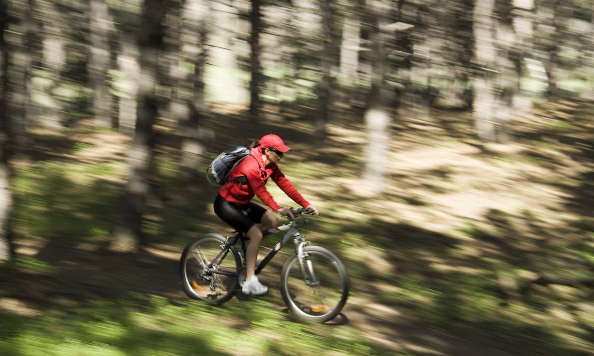
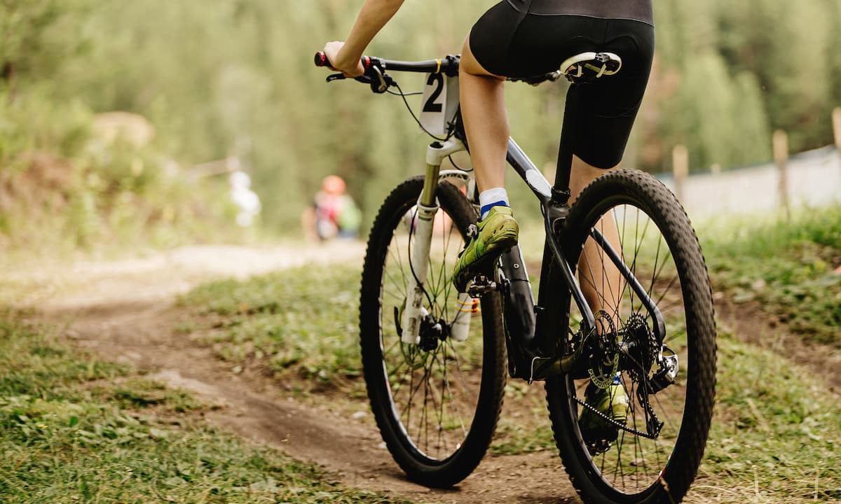
Gran Canaria is a cyclist’s paradise. Head out for a ride and release your adrenaline among the rugged mountains and ravines, or enjoy a long route along the beach. Cycling enthusiasts will love the contrast of landscapes and environments. In addition, the climate is stable, neither too hot in summer nor too cold in winter, and the accommodation, such as that offered by Princess Hotels & Resorts, is first class.
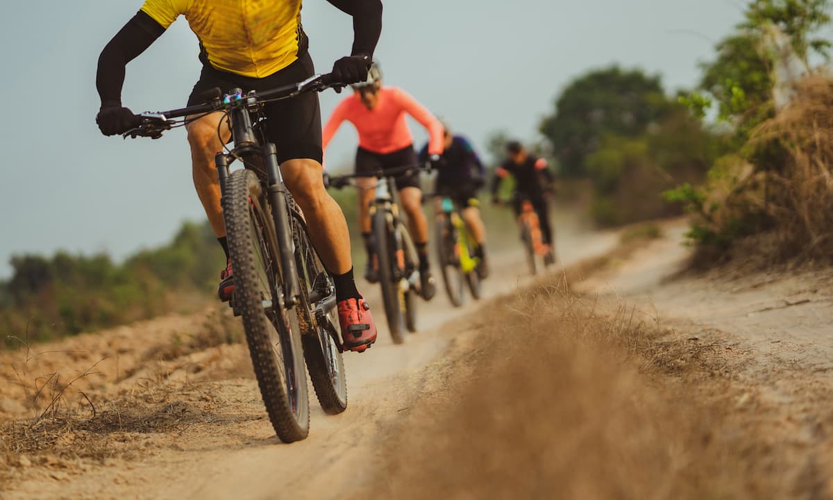
Ayagaures route from Maspalomas (26 km)
This excursion is ideal when you’re beginning your training. Throughout the route you will enjoy all the variety you need: flat, uphill and downhill, as well as a distance that is relatively accessible for most.
The route starts from the Plaza de la Constitución in Maspalomas and heads towards Ayagaures on the GC-504. After passing through the Aquapark water park, turn right and, after a very gentle but continuous climb, you will reach the Ayagaures dam. Turn 90 º to your left to face a steep, but short, ramp.
Then, take the GC-503 and climb to the top of Pedro González, where you’ll find ramps up to 12% inclination. It’s a real challenge. The highest point is reached at kilometre 17, where you can enjoy wonderful panoramic views.
Now is the time to descend, passing by Palmitos Park and through Montaña la Data, continuing down until you reach Maspalomas.
Santa Lucía-Taidía and San Bartolomé route from Maspalomas (79 km)
Ready to enjoy one of the most impressive cycling destinations Gran Canaria has to offer?
The route starts out in the municipality of Santa Lucía de Tirajana. Specifically, in the Plaza de la Constitución. Next, it’s time to peddle your way down the GC-500 towards Vecindario. Take your first turn at the El Doctoral junction, exiting left off the roundabout along Avenida de las Tirajana, until you reach the end of the road.
Now it’s time to climb. Follow the GC-65 until you reach the end of the Era del Cardón, where you take a left turn and continue the ascent up to Santa Lucía de Tirajana.
As you go through the town and pass the sign for Rosiana, you’ll see a right turn leading to the GC-654, which takes you to the picturesque village of Rosiana. When you take this route, the gradients become steeper, so get ready to pedal hard!
Once you have crossed Taidía, you will reach the Risco Blanco crossroads. Take the GC-60 on your left to San Bartolomé de Tirajana/Tunte and from there, continue to Fataga via the GC-601.
Once you complete the short climb, a prolonged descent begins that crosses the village of Fataga to the Arteara oasis. Next get ready for another climb: a 5 km ascent up to the Mirador de la Degollada de Las Huellas, where you’ll start your descent to Maspalomas.
Pico de las Nieves route from Ingenio (23 km)
This is considered one of the toughest routes in Europe, so you’ll need to be in good shape to make it to the end. This route does not start from sea level, which is more common, but rather from Ingenio from where you will begin with a gentle climb. After La Pasadilla, conditions become harder for the next 8 kilometres. Then, take the GC-120 with uneven ground and gradients of up to 23%. It’s a big challenge for those who like to push themselves.
We continue on to Cazadores, where we finish the most difficult climbs, before turning left on to the GC-130 to reach Caldera de los Marteles. Heading towards the Pozo de las Nieves, there is a short descent, but it is impressive due to its incline. This route ends at the Pico de las Nieves, after the heliport. To return to the starting point, there are several options via the GC-130.
Puerto de Mogán-Ayacata – Pico de las Nieves (91 km)
This route starts with a search: you need to find the ‘El pie de la Cuesta’ poster. Why?
The route starts out at Mogán beach, on a road that gradually gets steeper and steeper until the 10 km marker, where you’ll come across the aforementioned sign. When you see that poster, it’s time to turn right and begin a stretch that culminates at Pico de las Nieves.
And get ready to climb, because the first part is all uphill. But there’s good news too. It’s a good place to rest, and the tarmac is in great condition for cycling, giving your pedal power a boost. And there’s more good news – this route gives you spectacular views of Mogán valley.
The next thing to look out for on the route is the Cruz de San Antonio. This means you’ve reached the end of the first section – which is the most demanding. Next, head towards Ayacata on a slightly patchy and uneven tarmac road. When you get there, it’s worth a stop off. The town of Ayacata is used to passing cyclists, and you’ll find bars and places where you can rest and recharge your energy levels.
When you’ve finished the Ayacata stretch, turn left and shift your focus to Pico de las Nieves. It’s time for one last push – just another 13 kilometres till you reach the summit. Bear in mind that the first 3.5 kilometres are very demanding. There’s no respite – you’re climbing a gradient between 11% and 13%. Fortunately, the last 8 kilometres are much easier going. You may be peddling and sweating hard, but you’ll get absolutely breathtaking views at the same time.
Categories: Canaries, Travel Tips, Gran Canaria, Lifestyle


Leave a Comment