


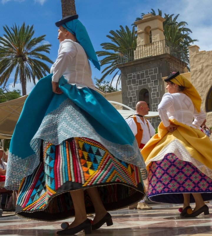


Fall in love with Gran Canaria on these 5 hiking routes
Pine and laurel forests, picturesque waterfalls, sacred forests and unspoilt beaches… Gran Canaria is like a continent in miniature. A world of contrasts for nature and adventure lovers. And what better way to connect with it all than taking a walk? At your own pace. Hiking in Gran Canaria is truly unforgettable.
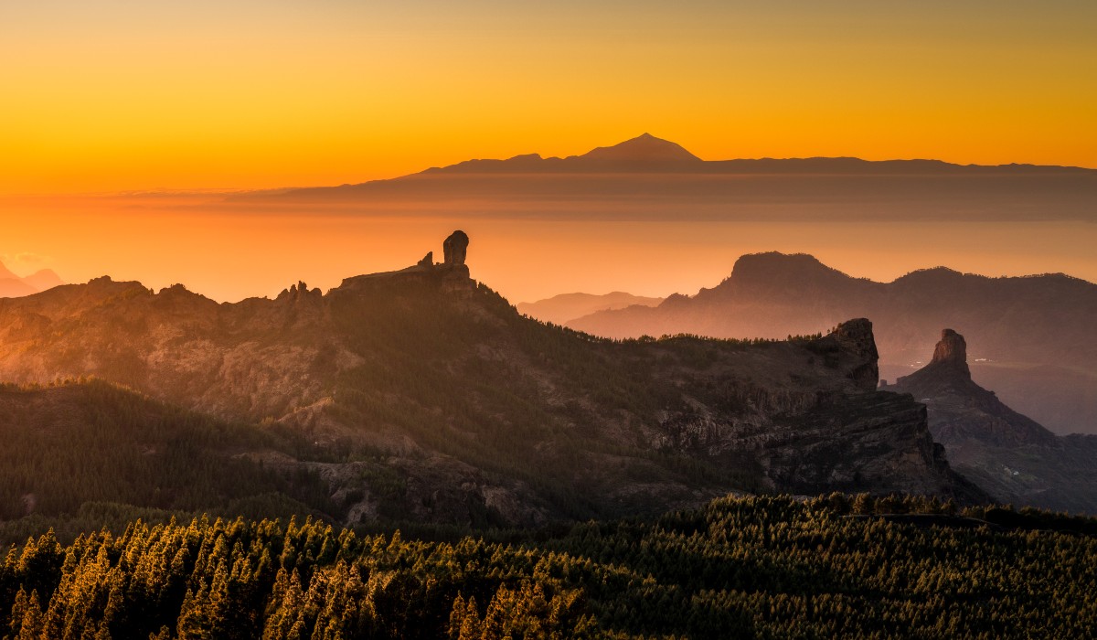
Roque Nublo
If you’re in Gran Canaria, Roque Nublo is a must. The volcanic rock towers 80 metres high, with the Rana and Fraile rocks by its side – the latter is also known as the sacred rock. The aboriginal people of the Canary Islands considered these striking, showy rocks to be a place of worship.
If you want to visit Roque Nublo you need to travel to the municipality of Tejeda. The simplest route goes from La Degollada de la Goleta car park. This walk may be short – just 1.5 km – but you’re rewarded with breathtaking views of Pico de Las Nieves surrounded by pine forests, and the majestic Teide and Atlantic Ocean.
Los Tilos de Moya
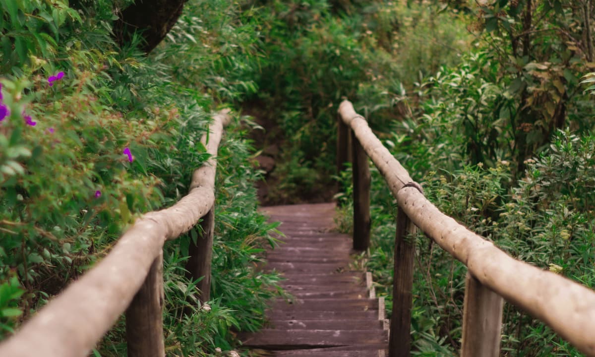
Los Tilos de Moya, which forms part of the Doramas Rural Park, is one of the last remaining laurel forests in Gran Canaria. A nature reserve brimming with lush vegetation, where you can glimpse protected species in danger of extinction such as the Cresta de Gallo (Cockscomb).
The Los Tilos de Moya route is ideal for families or groups of friends. It’s a very simple circular route of just two kilometres. It only takes around 30 minutes.
The route starts at the Tilos de Moya Visitor’s Centre. To get there, you take a left turn off the GC-700 road from the direction of Moya town. Once there, you can’t miss it. So get ready to see endemic plants such as ’tiles’, laurels, evergreen firetrees and small-leaved holly.
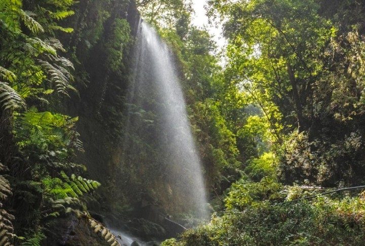
Barranco de los Cernícalos
The Barranco de los Cernícalos ravine is one of the most beautiful routes for hiking in Gran Canaria. And we recommend you keep an ear out – the relaxing sound of water is a highlight. A stream runs through the area as well as three waterfalls you’ll find along the way.
The Barranco de los Cernícalos forms part of the protected landscape Lomo Magullo, located on the boundary between the municipalities of Telde and Valsequillo.
The route is 3.5 kilometres each way, and takes about two and a half hours. As always, it depends on your walking pace and how often you stop for a break.
The walk starts in the Los Arenales parking and picnic area in Lomo Magullo, in Telde. The most challenging stretch starts after the first waterfall. The steep slope of the land makes it tricky to walk – both up and down. But the good news is that once you’ve got past this point, it’s back to a simple walk. And you get the treat of two more waterfalls.
Güigüí beach route
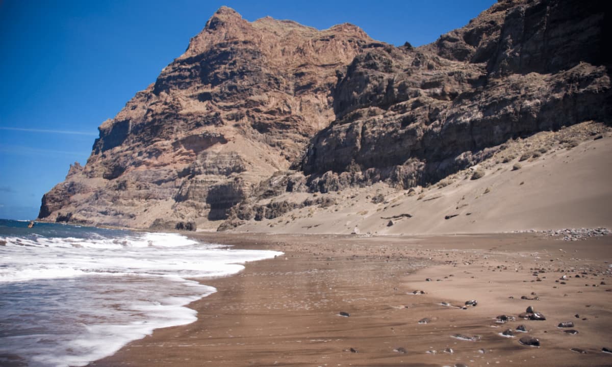
Photo by Lexthoonen, Güigüi beach, Gran Canaria licensed under CC BY-SA 4.0
The Güigüí route starts out in the remote village of Tasartico, a one-hour drive from Maspalomas. Warning! This is one of the trickiest paths on the island, so this one is recommended for the physically fit.
But the hard work is worth it: you’ll end up at one of the best beaches in Gran Canaria: Güigüí. And if you’re lucky you’ll get there at low tide… that’s when you’ll be able to enjoy the smaller ‘Güigüí Chico’ beach too. Two virgin coves flanked by imposing cliffs. It’s a must.
When you get to Tasartico you’ll come across a well-signposted path – about five kilometres of impressive up-and-down terrain. And you’ll need to tackle these gradients on your way there – and back. Make sure you factor that in when you’re planning your trip. It could take all day. It’s a five-hour walk minimum, and when you get there you can’t miss a dip in Güigüí.
If you’re not up for that level of physical effort, you could take a boat trip there, and perhaps spot some dolphins and other cetaceans in the Gran Canaria seas.
The Álamo trail
The Álamo trail is one of Gran Canaria’s most popular routes. According to Teror City Council, an average of 300 people a day take this walk.
The main draw of this trail – as well as the innate beauty of the ravines in the area – is the climb ‘up to the sky’. The walk entails a 14-metre vertical stainless steel staircase, camouflaged with some wood and rope to blend it into the surroundings.
The route is about six kilometres (there and back) and is very simple: You can walk it in less than two hours, with an overall altitude difference of just 190 metres. Having said that, you do need to be fit enough to climb up the steps. The trail starts from the centre of the village of Teror, in the Plaza de Nuestra Señora del Pino. From there, all you need to do is follow the signs, and take it all in!
Categories: Canaries, Gran Canaria, Lifestyle


Leave a Comment