The most well-known volcanoes in La Palma

The volcanic island of La Palma is rising from the ashes following the longest eruption in its history. The Cumbre Vieja volcano was active for 84 days, leaving a spectacular – yet devastating – landscape in its wake.
Thousands of families had to leave their homes, which are now submerged under tons of ashes. The historic event triggered a wave of solidarity, with people worldwide helping La Palma residents rebuild their lives and show that it takes more than a volcano to beat them.
La Palma’s volcanic history
The island has witnessed eight eruptions in the past six centuries. This makes La Palma the most active of the Canary Islands since the beginning of the fifteenth century, according to data collected by the National Geographical Institute (IGN).
The oldest volcanic eruption in the Canary Islands took place in the La Palma’s Tacande region between 1470 and 1492. At the time the eruption was questioned – it coincided with the conquest of the archipelago by Castilian nobility, and later the Catholic Monarchs. There was no record of it ever happening, but the geological proof leaves no room for doubt.
The next eruption was in 1585 in Tehuya, during the reign of King Felipe II in Spain. And later came the Martín eruption, in 1646. This time, an immense rain of ashes buried fields of crops, destroying the Palmeros’ harvest.
28 years later in 1677, there was an eruption in San Antonio. And in 1712, in the thick of the War of the Spanish Succession, El Charco erupted, creating the Tamanca Protected Landscape.
Twentieth-century eruptions on the island

For some La Palma residents, the latest Cumbre Vieja volcano eruption won’t be the first they’ve experienced. Many will have witnessed other eruptions such as those in the twentieth century.
The last ones to be recorded before 19 September 2021 were from the San Juan and Nambroque volcano in 1949. This volcano, which was active for 42 days, was named after San Juan because it started on the saint’s day, on June 24. But it’s also known by the name of Nambroque, where it first stirred to life.
San Juan volcano had an impact on many areas also affected by the 2021 volcano. The 1949 eruption was strombolian, which means it consisted of sporadic blasts of eruptions separated by varying periods of calm.
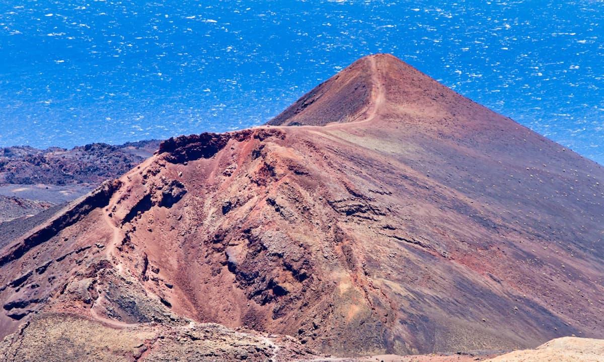
The final eruption of the last century was Teneguía volcano in 1971. It was active for 24 days, making it the shortest eruption out of the eight La Palma has recorded since 1430. Its name comes from having emerged near Roque de Teneguía, a dome-shaped phonolithic rock surrounded by lava flow fields from the Fuencaliente volcano eruption in 1677.
This was another strombolian eruption like the ones in 1949 and 2021, but this one didn’t affect any populated areas. Because of its location close to the island’s south coast, the lava poured into the sea and increased the surface area of La Palma by 2 million square metres.
The Ruta de los Volcanes (Volcanoes Route)

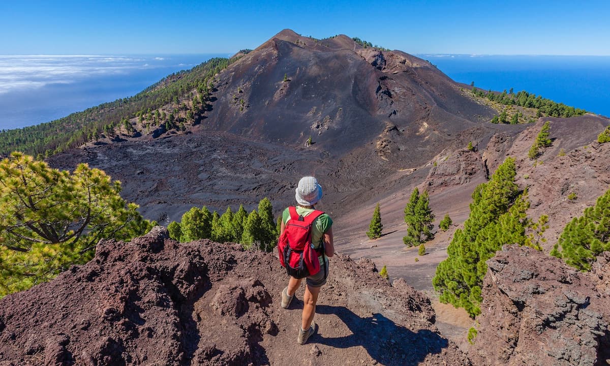
Volcanoes are undoubtedly one of the island’s most popular attractions for visitors. The island’s staggering landscapes make the Volcanoes Route a walk like no other in the world.
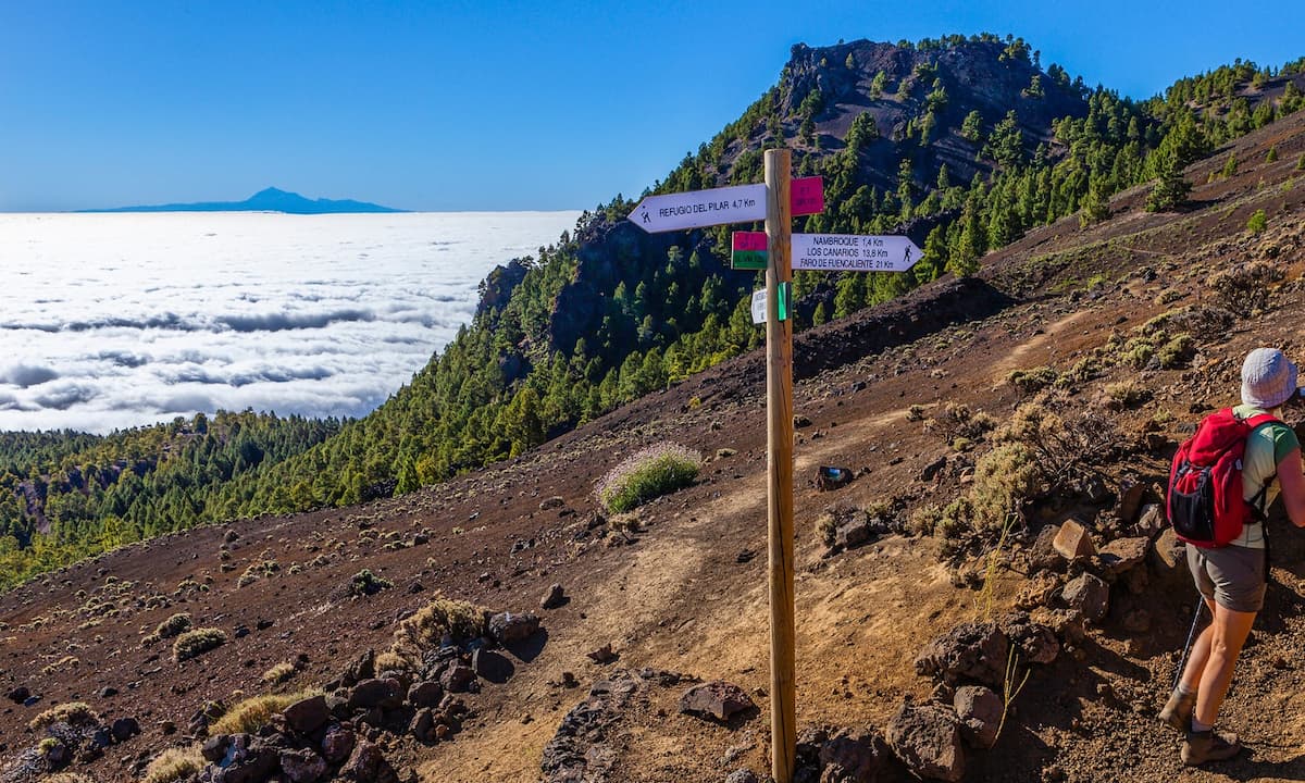
This route, which is perfectly signposted for hikers, passes through the municipalities of El Paso, Mazo and Fuencaliente, found within Cumbre Vieja Natural Park. A volcanic tour that traces the backbone of the beautiful island’s southern region. If you’re thinking of checking out this impressive route, make sure you’re well-equipped. You’ll need suitable hiking boots, sunscreen and plenty of food and water, given that it’s a 6-8 hour long walk.
Along the 22-kilometre route you’ll find paths, forest trails and tarmac tracks. The route has an incline of 1,200 metres, with the lowest altitude in Fuencalientes at 725 metres, rising to 1,932 at the crest of the summit.
Following our route, you’ll find the Hoyo Negro crater. Further along, you’ll come to Martín volcano, where an impressive crater forms one of the most beautiful spots on the route. You’ll also see Teneguía volcano, and witness the desolate landscape it left in its wake after the eruption in the seventies.
This incredible route has a lot to give. The landscape is one of spectacular views, where you can take in the island’s untouched nature. On days with good visibility you’ll even see the neighbouring islands.
San Antonio volcano

To learn more about the island’s unique volcanoes, let’s leave the Volcanoes Route and walk through the crater of a volcano that shook the island in the middle of the seventeenth century: San Antonio volcano.
At the end of 1677, the ground began to shake in the south-west of La Palma, and San Antonio volcano erupted. Lava streamed from the volcano for 66 days, burying the island’s most iconic destinations (including Fuente Santa hot springs) and homes close to Roque Teneguía, where centuries later yet another eruption would strike.
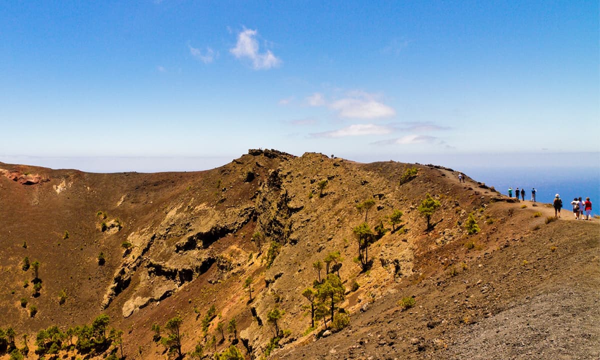
This is the island’s most accessible volcano. The perfectly-round crater begs you to take a look and see what’s inside. The viewpoint is another must-see, with spectacular views of the nearby Teneguía volcano.
If you’d like to visit, it costs 5 euros for non-residents and 3 euros for residents, which includes parking, entrance to the visitors’ centre and a walk over the crater.


Leave a Comment